Day 7 – Simrishamn – Löderup (Backåkra)
– Temp: 23-28°C
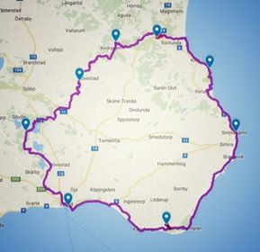
– Distance: 28.3 km (12.1+16.2+2.0)
– Time: 5h 51 min
– SL4 Stage: 4 & 3 (parts/almost whole)
– Difficulty: Easy
– Markings: OK
Part 1: Simrishamn – Skillinge (12.1 km)
The mist is heavy over Simrishamn. I got a couple of hours of sleep but my horrible room leaves me no excuse to lie in bed for any longer than necessary. The bed, by the way, was way too soft and bumpy for my taste and to far from the window near the ceiling so, in the middle of the night, I took the top mattress and moved it to the floor beneath the window. I really would have been better of in the woods.
Breakfast was not that inspiring but the kind personell was aware of my needs and when I asked for oats they were happy to prepare it. At first I got a third of my normal portion but after having explained for the kitchen staff what was in front of me I got a real bowl of oats that I could hardly finish – yäjjjj!
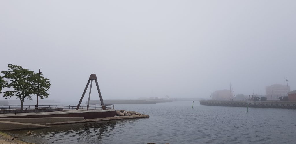
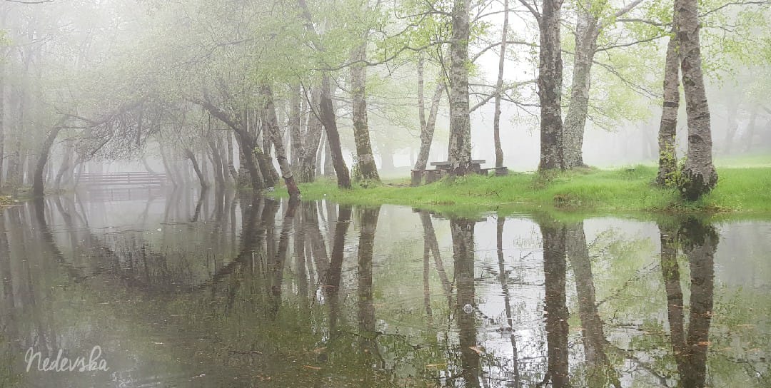
The mist was heavy on Simrishamn when I got out. Beautiful but a bit colder than I had become used to. Fortunately the forecast promised heat later on and I could feel that that would be the case no doubt.
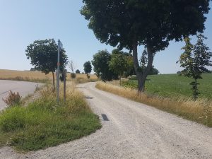
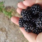 The start from Simrishamn after the city was asphalt and through a boring industrial estate. After a couple of km the SL4 turned into a pasture very close to the sea and continued along the shore mostly on small paths with grass, sand and blackberry bushes. In fact the whole day offered plenty of blackberries. After 5 km, passing through Brantevik, the lovely paths turns into gravel and then asphalt and continues on asphalt all the way to Skillinge a good 6 km.
12 km
Running on a bike path can be really boring, especially sleep depraved so I surrendered to walking and having done 12 km with barely no sleep I felt the need for a really good rest so I stopped my watch and bought a a cheap towel and a can of fish quenells. I was to tired to tell off the really snotty teenager cashier at the local supermarket, who snapped his fingers impatiently in the direction of the stuff I asked for instead of just telling me with words- really? I guess the Skåne youth has not invented sentences yet. I hurried out with only the most basic stuff and lied down, ate my lunch and shut my eyes for half an hour or so trusting that the rest of the day had better to offer. At least the mist had gone and the temperature had gone up to a pleasant 27 degrees.
Part 2: Skillinge – Löderup (16.2 km)
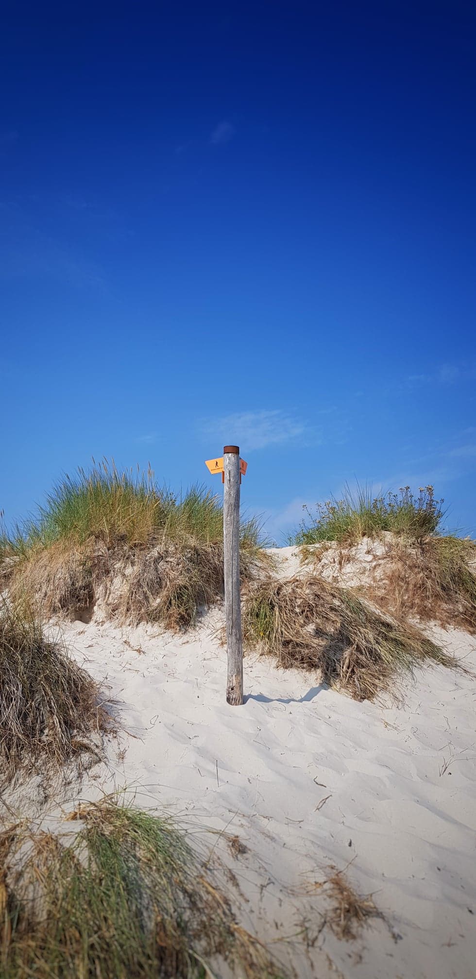
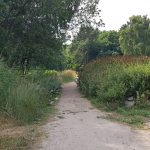 Getting out of Skillinge I had to run some more asphalt but soon the path hit the wonderful beach. It was lovely to be by the sea but there had been quite a lot of sand both here and there so far and it could be quite heavy at times when it was all loose and no grass or water or nothing that kept it firm. And now I had 8 km of beachy sand and sunbathing tourists in front of me. I really wanted nothing but sleep. Or at least an ice-cream.
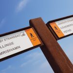 My legs were awfully tired. I could not run at all in the sand but I was too tired from not having slept anyways. I texted my friend F (who did GAX the other day) a picture of the sand and got his deepest sympathy. Our honest and funny conversation thereafter made me feel much better.
After 2 km of heavy sand, 6 km of the second part of today’s stage I reached Spraggehusen and the long awaited ice-cream! I got to rest in a chair as well – probably too tired to even think because I find no pictures at all…
 6 more kilometers of sand to go before I reach Sandhammaren and get to a path. My mind is drifting here and there. I focus inwards on the steps – one step after the other. All these people in bathing suites relaxing eating burgers (where did they get them from???) and just lying there. I’m glad I have a mission.
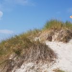 “Mooooom, I’m tired, you need to carry me – I can’t walk the sand, mooooooom!” Apparently it’s a long way from the car park to the beach. Like 500 meters or so – my mind ponders the mystery of goals and mindset. I too can feel that 500 meters can be insurmountable. I too want someone to carry me at this point. My mind is set. My mom’s not here.
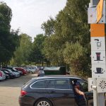 Sandhammaren! Finally. I see the signs saying there’s water and toilets but all I see are endless lines of people waiting for their turn. I just surrender on a bench. My ancles are so tired but it’s just tired, nothing else.
I finally got up and saw a shop with no line and realized the lines were only for ice-cream and I wanted a drink so I bought one and was soon off again. Only 5.3 km left to the youth hostel.
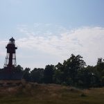 Only 5 km but now the ground underneath my feet is firm. I try to run and lo and behold it works! At least for a short while. I continue walking and running, walking and running, walking and running. During this whole journey I have met very few people along the route. Actually I haven’t met anyone the last 7 days that seem to be hiking the SL4, which is odd because it is really fantastic that we have these wonderful paths.
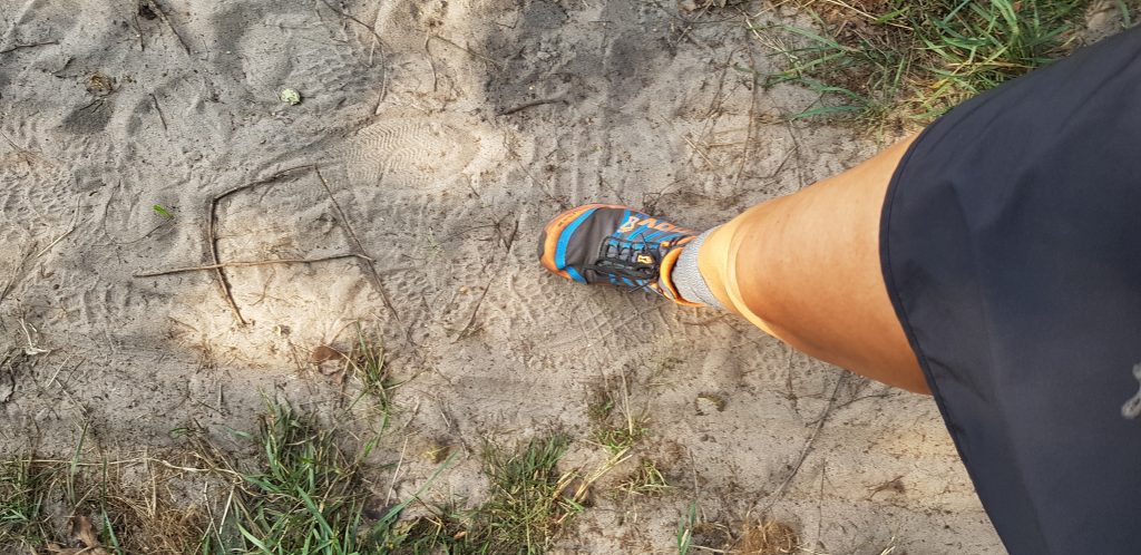 At Sandhammaren the path turned west away from the water and into the woods. Still firm but still a lot of sand. I am so so so tired but still I try to run a little every now and then. Today has probably been the toughest and longest challenge and at this point my focus is not right – I’m just longing for shower and to lie down.
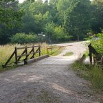 After a long long, very long while I get out of the woods and my journey on the SL4 ends. Only 1.3 km to the youth hostel! I stop and restart my watch and continue on the asphalt, passing a scout’s camp. Running, walking. Weather still nice and warm. I’m so longing to lie down. Did I forget to mention that?
When I turn out on a bigger road the cars go  really fast and do not keep distance at all. I pass Dag Hammarskjöld’s Backåkra, and finally I get to Backåkra Youth Hostel. The first room I got was a copy of the one I had in Simrishamn and although my hostess promised it was in the coolest part of the house I did not care – that tiny tiny window in the ceiling was not enough. I explained that I can do with the hottest room in the whole house as long as I get a window at normal hig. So I got a room twice the size, with a basin and four windows – ok hot but with all windows open it felt almost like sleeping out.
I unpacked my my bag with bed linen and stuff and took the food my husband had bought and prepared. The hostel had a washing machine and a tumbler that you could pay a small fee to use so I did my laundry. I was going to begin my last stage tomorrow clean. Lovely!
