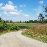
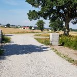
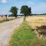
My own GAX 100 – Day 8

Day 8 – Löderup – Ystad 

– Temp: 25-27°C
– Distance: 29.1 km (1.3+27.8)
– Time: 5h 40 min
– SL4 Stage: 2 & 1 (tiny part of 3)
– Difficulty: Demanding (stage 2) to very easy (stage 1)
– Markings: OK

Waking up day 8 was out of this world. Already yesterday I felt the taste of success. Now, I felt it even more. The gut feeling was I was there already – I had reached the finish, it was just a matter of…  nearly 30 km. The fact that 30 km is a normal weekly dose of running for me did not occur at all. It seemed like, pardon the expression, a piss in the ocean.

Preparations

The breakfast at Backåkra vandrarhem was a bit chaotic at peak due to the fact that the buffet was in a tiny corner with no room to walk by and access only from one side so the line was 10 minutes long and people a bit irritated. Even to get a cup of coffee you had to stand in line to get in to the house with the buffet. The breakfast itself was nothing out of the ordinary and a bit of a disappointment since they had promised a spectacular one on the website.

I prepared myself for liftoff and just to be on the safe side this last day I taped the longest of my left pinky and long toe – I hadn’t had any trouble with it but when I look at it it looked like the big toe nail is chafing against the next one even though I have used my splendid Injinji woolen toe socks that normally prevents this – I guess 15-25 km a day for 7 days is out of the ordinary then :).

Start

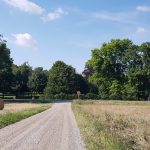
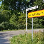
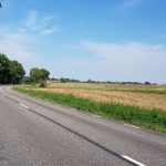
Up and away! I left all the stuff my darling had left here, except for the stuff I ate – the bag with the bed linnen and towel I put behind the reception desk as agreed, and we went to get it the next day on our way home.  1.3 asphalt before the final stage of my GAX challenge starts. This first bit for me is actually the end of stage 3 of Skåneleden SL4.

SL4 Stage 2

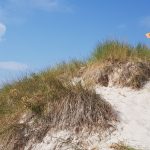
Stage 2 is 18 km and marked as a challenging stage and I think that’s a fair thing to say with all its hilly dunes and sand but since it’s a 4 grade scale were “challenging” is the worst it does not fit into an international scale – it’s nothing compared to hikes I’ve done in Portugal or the Canary Islands. But, for us with a bit of vertigo there is actually one place that you need to be aware of on this stage but more about this under Ales Stenar below.

I run 1 km of stage 3 before I get to the end of stage 2. Since I’m doing the whole thing in reverse it’s my beginning. At these crossings near car parkings and stuff there are people but apart from the touristy junctions, in eight days, I have not met one person walking or hiking the SL4 – very strange.

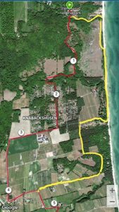
Now, I’m not far from Löderups strandbads camping and according to Skåneledens website the stage goes down to the seaside and back again but my GAX-track says to continue in the woods for a while.

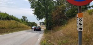
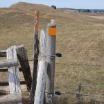
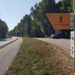
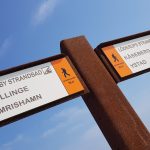
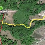
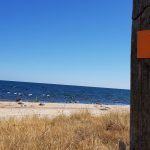
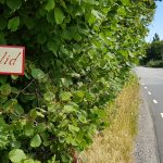
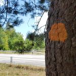
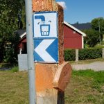
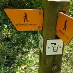
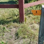
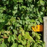
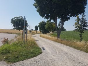
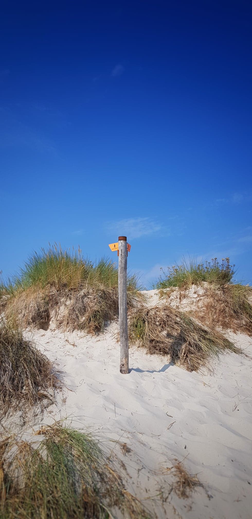
Some gravel, some sandy heaths and I’m closing in on the seaside. Just before Löderup strandbad (2 km east of the camping) at 2.5 km I was just in the mood, everything seemed like a dream come true and I just kept on jogging, taking photos sometimes and suddenly there was the ocean again! I just remembered I was to go towards the seashore pretty soon so when the asphalt sloped down I did too just filled with happiness… down by the sea I realized that I had went too far and went back up again and into an road to the right.  I thought a while of taking a shortcut but I wasn’t keen on that – you never know were you end up. If you look at the picture above real close you can see the turn-right-sign I missed :D.

Kåseberga

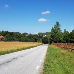
After another kilometer of asphalt at 4 km I came onto cobbles, 2 kilometers of cobbles. It was hard to walk on but easier to jogg so I tried even though I was tired.

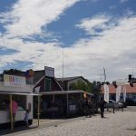
Near the town of Kåseberga there was a long ladder up to the road and then asphalt for less than a kilometer through the busy touristy harbour area crammed with small restaurants, food trucks and so many tourists I entered panik mode and missed the right hand turn, but I took the next one right and was soon on my way up the gravel road leading up to yet another tourist magnet – Ales stenar.

Ales Stenar

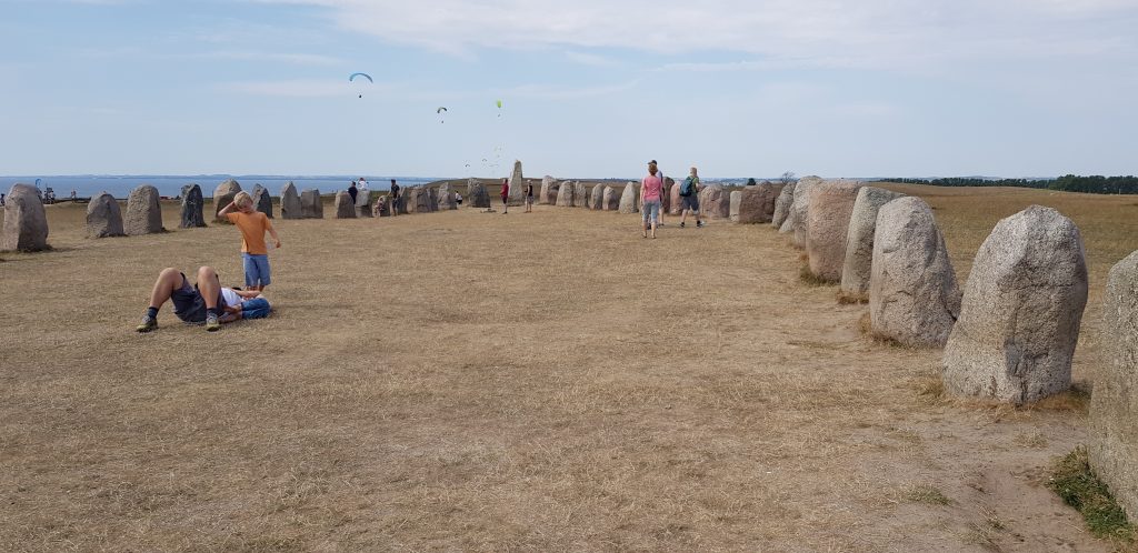
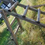
Ales stenar is a very old megalthic magnificent stone ship full of tourists and with a grandiose view. It took me a few minutes to get a picture of the stones without crowds of people and the only way to escape the crowds and continue on the SL4 is via a 2 meter tall rickety ladder leading to the paragliding area. I’m really no good with ladders like this but I managed.

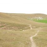
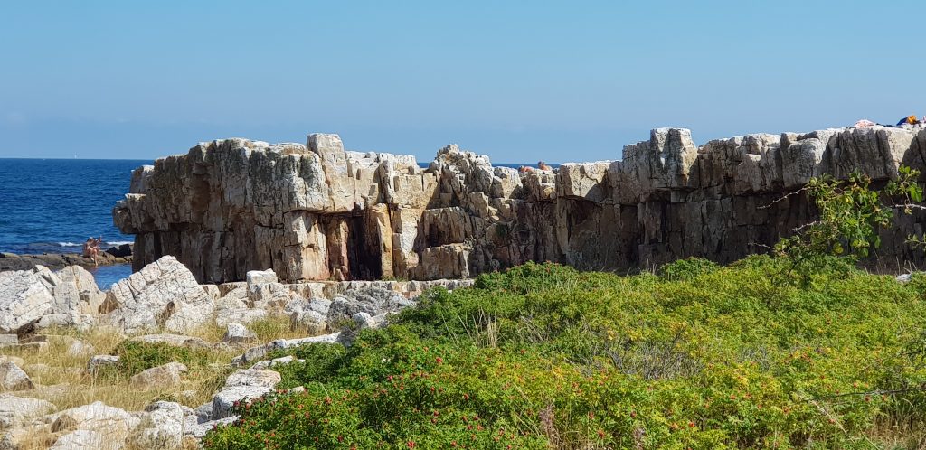
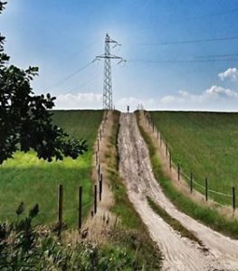
The view here and onward was even more spectacular so it was it was a bit odd that no people except para-gliders were here but I did not mind. It made my experience kind of more down to earth. Apart from the  few kilometers of cobbles this is the part that makes the stage a bit difficult. Up and down, up and down along the scree. Nothing technical except for the ladders but a lot of up and down.

The scree is mostly far from the path so there’s nothing that bothers me but at one point a fenced pasture goes all the way to the edge and I have to walk so close to the edge I feel a bit nauseous because it’s a bit windy and a gust every now and then makes me even more scared – the people down by the water are soooo tiny. The map tells us it’s only 30 meters down there but a fall at such a steep place with nothing to catch the fall would definitely hurt and possibly kill me. As you may have guessed I managed to get passed the point and survived.

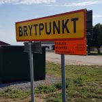
At about 11 km the path turns right in between to pastures because of Kabusa firing range, a military practice area. Half a kilometer north you get onto an asphalt road with cars that don’t really care but luckily the path continues on a bike path. Lucky is a matter of opinion maybe but to begin with it felt rather nice not having to think about were you put your  feet, after 4 km it felt like it was quite enough but the military area sign saying “breakpoint” (or inflection point?) really made me laugh and after a few text with a friend that did the GAX I was back on track mentally. Physically there was nothing wrong at all, just a bit tired.

At 17.5 km the SL4 turned into the left and continued close to the sea for another 3km. At Nybrostrandsbadet, a public swimming pool, I bought one bottle of enriched water and two icecreams from the outside. I stood in the shade and ate the icecreams, then continued to a bench by the beach and had a rest.

At Nybostrand camping stage 1 ends, or begins for me. I went into the kiosk but found nothing I wanted but gave them my empty bottle. I was lost for a second and had to take my map on the phone up to navigate and on the right path again I passed the recycling bin the girl in the kiosk tried to give me directions to. Well, well.

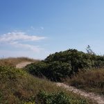
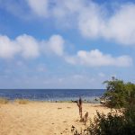
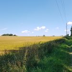
Out on the road for a tiny bit and then into the woods at 21 km. Further on for 5 km along the seashore, to begin with in the woods but so close to the sea you see it all the time. After a couple of kilometers the path gets even closer to the sea and it gets a bit harder to run since it’s a bit mushy and sandy at times but soon turnes into a well prepared path, I run into joggers and a runner (at a pace that I never have been able to run) that cheered me on in a way that made me think he saw I was not on a 5K stroll.

Somewhere here I meet my first couple of hikers. After 8 days finally! We talk a bit, they tell me they only just started stage 1 and we say good bye. Further on a bit somewhere after Saltsjöbad Spa & Hotel the path becomes asphalt and there are crowds of people. I’m in the zone and trying to crisscross between bicycles, strollers, baby carriages and whatnot.

The finish

I’ve been texting my husband regularly during the day and talked a bit trying to coordinate a meeting. He’s been working at home and has been driving for a very long time just to be able to see me finish. At 26 km I turn right, north to get into the city of Ystad via the ferry port. And there he is my darling – he made it!!!! Running beside me cheering me along the last 1.5 km is the person I love the most in the whole world. A person that loves crazy stuff, crazy me, crazy in love.

Finisher!!!!

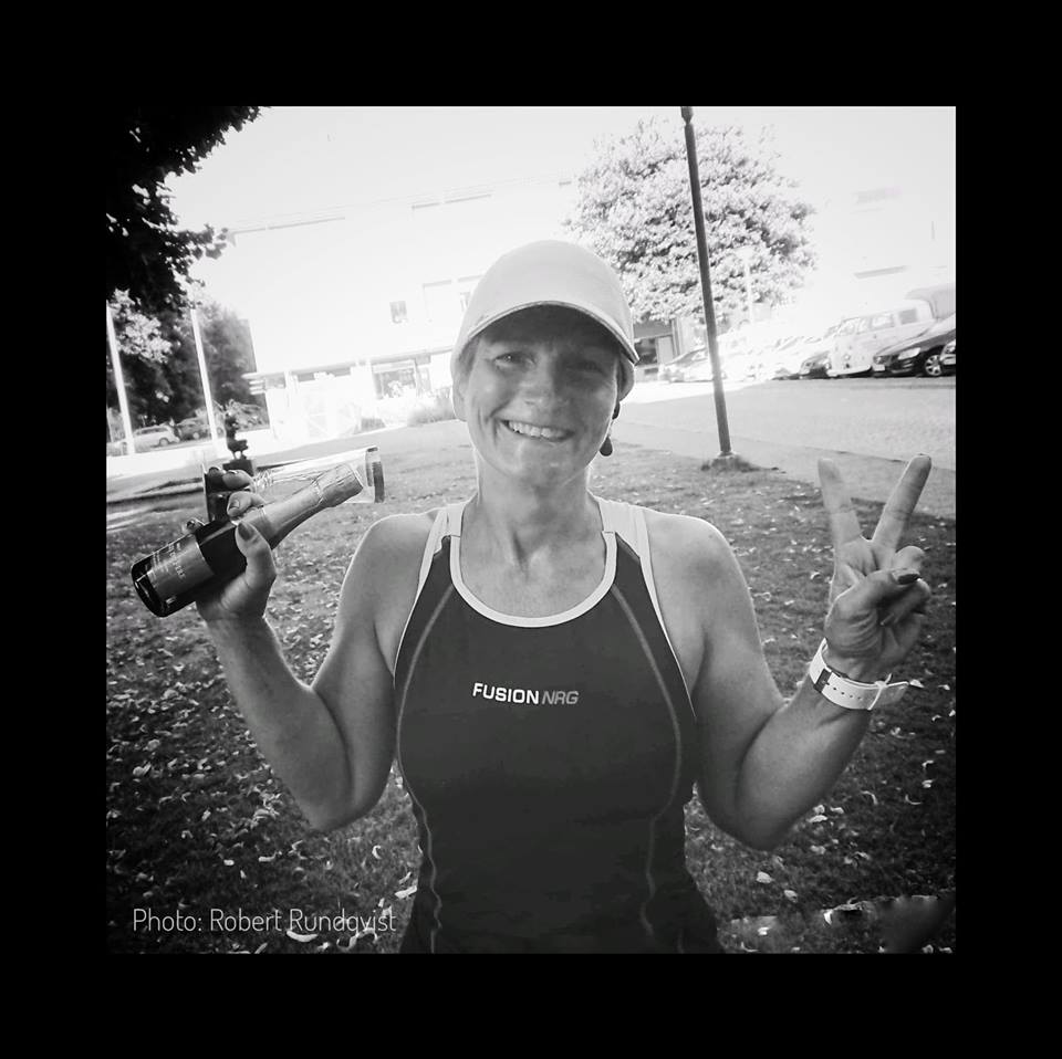
The square where I finish is almost empty apart from some senior citizens and some drinking buddies – none of them even remotely interested in my finish but my lovely husband brings me champagne and takes a photo. He ask if I want something – I really don’t remember but I think I had a smoothie. I laid down on a stone wall since our friends occupied all benches and I felt a bit empty but very happy. But, eager to get a shower and to lie down.

Lucky enough, or due to my darling’s excellent planning, we had a fabulous room at Stationens B&B, there was a shower only 5 meters from our room that also had a laundry machine, yääääyyyyy! the room was tiny but so nice. Everything seemed newly renovated and even though the room was on the top floor and it was steaming hot outside, the extra cooling fan they had equipped the room with did its’ job.

Fooood! I want food! Some googling and a phone call and we had ordered hamburgers and sweet potato fries from a nearby hotel. My darling went there even though the city was crowded and he probably was more tired than me. We ate and just enjoyed each others company.

WOOOOOOOOHOOOOOOOOOOOOOOOOOOOO I DID IT!!!!


My own GAX 100 – Day 7

Day 7 – Simrishamn – Löderup (Backåkra)

– Temp: 23-28°C
– Distance: 28.3 km (12.1+16.2+2.0)
– Time: 5h 51 min
– SL4 Stage: 4 & 3 (parts/almost whole)
– Difficulty: Easy 
– Markings: OK

Part 1: Simrishamn – Skillinge (12.1 km)

The mist is heavy over Simrishamn. I got a couple of hours of sleep but my horrible room leaves me no excuse to lie in bed for any longer than necessary. The bed, by the way, was way too soft and bumpy for my taste and to far from the window near the ceiling so, in the middle of the night, I took the top mattress and moved it to the floor beneath the window. I really would have been better of in the woods.

Breakfast was not that inspiring but the kind personell was aware of my needs and when I asked for oats they were happy to prepare it. At first I got a third of my normal portion but after having explained for the kitchen staff what was in front of me I got a real bowl of oats that I could hardly finish – yäjjjj!

Misty morning

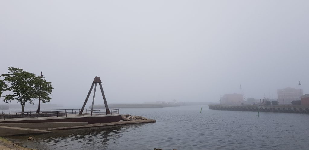
The mist was heavy on Simrishamn when I got out. Beautiful but a bit colder than I had become used to. Fortunately the forecast promised heat later on and I could feel that that would be the case no doubt.

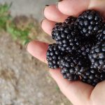
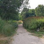
The start from Simrishamn after the city was asphalt and through a boring industrial estate. After a couple of km the SL4 turned into a pasture very close to the sea and continued along the shore mostly on small paths with grass, sand and blackberry bushes. In fact the whole day offered plenty of blackberries. After 5 km, passing through Brantevik, the lovely paths turns into gravel and then asphalt and continues on asphalt all the way to Skillinge a good 6 km.

12 km

Running on a bike path can be really boring, especially sleep depraved so I surrendered to walking and having done 12 km with barely no sleep I felt the need for a really good rest so I stopped my watch and bought a a cheap towel and a can of fish quenells. I was to tired to tell off the really snotty teenager cashier at the local supermarket, who snapped his fingers impatiently in the direction of the stuff I asked for instead of just telling me with words- really? I guess the Skåne youth has not invented sentences yet. I hurried out with only the most basic stuff and lied down, ate my lunch and shut my eyes for half an hour or so trusting that the rest of the day had better to offer. At least the mist had gone and the temperature had gone up to a pleasant 27 degrees.

Part 2: Skillinge – Löderup (16.2 km)

Getting out of Skillinge I had to run some more asphalt but soon the path hit the wonderful beach. It was lovely to be by the sea but there had been quite a lot of sand both here and there so far and it could be quite heavy at times when it was all loose and no grass or water or nothing that kept it firm. And now I had 8 km of beachy sand and sunbathing tourists in front of me. I really wanted nothing but sleep. Or at least an ice-cream.

My legs were awfully tired. I could not run at all in the sand but I was too tired from not having slept anyways. I texted my friend F (who did GAX the other day) a picture of the sand and got his deepest sympathy. Our honest and funny conversation thereafter made me feel much better.

After 2 km of heavy sand, 6 km of the second part of today’s stage I reached Spraggehusen and the long awaited ice-cream! I got to rest in a chair as well – probably too tired to even think because I find no pictures at all…

6 more kilometers of sand to go before I reach Sandhammaren and get to a path. My mind is drifting here and there. I focus inwards on the steps – one step after the other. All these people in bathing suites relaxing eating burgers (where did they get them from???) and just lying there. I’m glad I have a mission.

“Mooooom, I’m tired, you need to carry me – I can’t walk the sand, mooooooom!” Apparently it’s a long way from the car park to the beach. Like 500 meters or so – my mind ponders the mystery of goals and mindset. I too can feel that 500 meters can be insurmountable. I too want someone to carry me at this point. My mind is set. My mom’s not here.

Sandhammaren! Finally. I see the signs saying there’s water and toilets but all I see are endless lines of people waiting for their turn. I just surrender on a bench. My ancles are so tired but it’s just tired, nothing else.

I finally got up and saw a shop with no line and realized the lines were only for ice-cream and I wanted a drink so I bought one and was soon off again. Only 5.3 km left to the youth hostel.

Only 5 km but now the ground underneath my feet is firm. I try to run and lo and behold it works! At least for a short while. I continue walking and running, walking and running, walking and running. During this whole journey I have met very few people along the route. Actually I haven’t met anyone the last 7 days that seem to be hiking the SL4, which is odd because it is really fantastic that we have these wonderful paths.

At Sandhammaren the path turned west away from the water and into the woods. Still firm but still a lot of sand. I am so so so tired but still I try to run a little every now and then. Today has probably been the toughest and longest challenge and at this point my focus is not right – I’m just longing for shower and to lie down.

After a long long, very long while I get out of the woods and my journey on the SL4 ends. Only 1.3 km to the youth hostel! I stop and restart my watch and continue on the asphalt, passing a scout’s camp. Running, walking. Weather still nice and warm. I’m so longing to lie down. Did I forget to mention that?

When I turn out on a bigger road the cars go really fast and do not keep distance at all. I pass Dag Hammarskjöld’s Backåkra, and finally I get to Backåkra Youth Hostel. The first room I got was a copy of the one I had in Simrishamn and although my hostess promised it was in the coolest part of the house I did not care – that tiny tiny window in the ceiling was not enough. I explained that I can do with the hottest room in the whole house as long as I get a window at normal hig. So I got a room twice the size, with a basin and four windows – ok hot but with all windows open it felt almost like sleeping out.

I unpacked my my bag with bed linen and stuff and took the food my husband had bought and prepared. The hostel had a washing machine and a tumbler that you could pay a small fee to use so I did my laundry. I was going to begin my last stage tomorrow clean. Lovely!

My own GAX 100 – Day 6

Day 6 – Stenshuvud – Simrishamn

– Temp: 28-30°C
– Distance: 16.4 km (+2.0)
– Time: 2h 48 min
– SL4 Stage: 5 (mainly)
– Difficulty: Easy
– Markings: So and so

<3

This my sixth day will be the last day I see my wonderful husband. Sort of anyway. Before he heads for work in the morning, though, he will jogg with me to morning coffee and then put my “drop bags” with food and clothes at my overnight stays. In a couple of days he will also be there when I finish so I’m really not that unassisted at all, just that there is no emergency back-up. Since the weather seem to keep on greeting us with sun and warmth I’m not so worried.


Before he heads home, though, we really need a decent cup of coffee. The fire ban has left us urging for warm coffee and 2 km from our camp site the Stenshuvud National Park has a café so we run there together as a warm up. Through the thick woods  and up a hill and some really steep long stairs – this is maybe the first really steep anything I have encountered so far. The north peak is at 97 meters altitude but we settle for the south peak since the view is at least as astonishing here.

Peaks

We thought the café opened at 10 (like the exhibition) but when we got there it was closed…. we learned that the café had it’s own hours and did not open until 11. We sat down and talked and after a while we spotted a T-shirt we recognized from Facebook – a GAX Finisher-T! Dear T and his wife has returned to the scene of the crime. Since they passed this place in the middle of the night he really had not seen much of it. We greeted and it was now time for me to get going.

2 km

Hugs and kisses and I’m off towards Simrishamn. I restart my watch and after only a couple of kilometers path turns to gravel, and gravel turns to asphalt and so it continues through a marvelous landscape of open fields. I spot a company of wanderers and think, nice, I can say hi and walk and talk a bit but when a car passes they put out their thumbs to get a ride and they get lucky. A bike passes and it’s quiet again, not even a bird can be heard in the hot midday.

5 km

Looking at my GPX file afterwards I realize that, after Stenshuvud, I followed the SL4, not the GAX track. I had read about it but maybe I forgot.

The GAX turns left/east down to the shore and the SL4 continues straight on. This is said to be the hardest part to get right in the GAX. I guess that is partly because it strays from the SL4 and partly because it is in the middle of the night.

Comparison GAX/SL4

However, even though I was aware of the fact that I was supposed to go down to the shore and did begin to do so, apparently I forgot the minute I saw a Skåneleden sign and continued the SL4 on mostly asphalt as described above :D.

The markings and signs was not that good this part so I had to look really close under trees and all around but somehow I got there. At the left turn after the 4 km mark in the picture above (6 km total of the day’s stage) there was no sign at all and picking up my phone to look at the GPX track it here became apparent to me that I had made some wrong turns but it’s not until I write this that I realize that I missed 3 km of the GAX path.

10 km

It’s not until after 7-8 km (9-10 in total of today’s stage), passing the town of Vik on small asphalt roads and gravel paths that the SL4 closes in on the shore again since Kivik yesterday. It’s always nice to be close to the sea, I think. I pick some blackberries – there are so many that each day this week I’ve been eating them every day! The area after Vik, called Tjörnevalla, is really gorgeous, small single track paths never more than 10 meters from the water.

After another 3 km I pass the town of Baskemölla and continue along the shore. Single paths through some woods but still close to the water, then suddenly a beach with exotic square rock formations, Tobisvik, 3 km from Simrishamn, my destination of the day.  

It’s now apparent by the increasing amount of tourists that the east coast is more popular than the previous parts I’ve been been. Bathing, playing, drinking, they look at me as if I’m from outer space – running in this heat? By this time I’m quite dirty, sweaty since there has been no really good place to do laundry, but tonight it will!

I make a wrong turn just after Tobisvik – it’s not really apparent where the path is supposed to go so I follow my GAX track. The path continues on very heavy sand for ½ km or so then turns right passing through a camping on asphalt, continuing on a brand new bike path passing several kiosks and I’m dying for an ice-cream but the lines are huge and I’m so close now I just keep on jogging and suddenly I enter the town of Simrishamn!

I check in at the Svea Hotel and get the most horrible room on top floor, cigarett smoke from below, barely room to turn around and no ventilation or AC. They gave me a dirty, fan full of a thick layer of dust and I asked for some ice and it helped for like 5 minutes. The poor staff could not do anything and after they quit in the evening there was no way of getting more ice. The cigarett smoke ended around midnight but at 4.30 it reappeared. I complained but still have not get the compensation the promised.

Anyway, I had a splendid herring and mash down at the harbour and shopped some more fruits and stuff in town so I had a party anyway.

As always, here are all my pictures of this day’s stage!

My own GAX 100 – Day 5

Day 5 – Brösarp – Stenshuvud

– Temp: 28-30°C
– Distance: 14.7 km (+1.3)
– Time: 2h 23 min
– SL4 Stage: 6 (partly) & 5 (partly)
– Difficulty: Easy
– Markings: So and so

What a wonderful relaxing birthday my lovely hubbie arranged for me at Brösarps Gästgifveri yesterday. Massage, sparkling water by the pool and dinner was the best present ever because today I was able to run again!!!!

The first couple of days had to be a bit longer due to the lack of housing and camping sites but it also turned out to be a smart move to keep up morale – having done almost 50 km after only two days makes you feel on the move in a really good way.

From having moved a bit north-east for a while now the SL4 continues more straight east and just slightly southwards until it hits the seaside and makes a sharp turn continuing straight to the south. But first things first.

Bengtemölla

As our housing is in the city of Brösarp I have 1.3 km to get back to the path. I pass over Verkeån by the 500 years old mill “Bengtemölla” and start today’s stage on a quiet gravel road passing the city limit into the boundaries of the city of Simrishamn.

The gravel turns to a small path over old railway tracks near the 2 km mark and then to gravel again for a short while before it becomes asphalt quite soon thereafter.

Watch out!
Passage 4

The asphalt continues for 1.5 km then it turns right and onto the fields. Between 3.5 and 5.5 at Haväng the path passes over the road five (5!) times on some kind of wooden bridge passings made so not animals on the pasteurs cannot climb over and each passing means two of these wooden thingies – not a big deal really but it seemed ridiculous to change sides that often instead of just keep on walking on one side – it all looked the same but I guess there is some kind of logic behind it… or not.

5 km

Here at Haväng my companion and support, my super hero, meets me to cheer. There’s also a gazillion cars and tourists which is something I haven’t seen for ages, luckily. Here is also where Verkeån ends and our eyes first meet the sight of the sea. What a sight for sore eyes! Living by the sea, waking up to see it every day, is something we’re used to so, after several days, this is really a blessed sight.

After Haväng the path continues southwards along the sea. For me it is not clear at all how to follow the markings at this time so after a while I just don’t care about the physical signs and follow my GPS track because the markings are really not consistent at all. Sometimes it seems as if you’re ment to keep eyes on the orange marked poles by the sea and sometimes your ment to follow them, for real… I still do not get it as you may notice :).

9 km

Having made som wrong turns without any real disasters I did get a bit annoyed but not that annoyed that it couldn’t be cured with an icecream just south of Vitemölla (9 km). Cobblestones and asphalt – i continue refreshed!

Like every day today is hot, around 30 degrees by now, and I still love it. To Kivik, at 11 km, it’s all asphalt but thereafter, asphalt turns into gravel, gravel into path and the trees offers some shadow but not for long. Refreshed from that icecream a greet the asphalt again and pick up the pace. No walking in between anymore. 12 km, 13 km. My husband sends a message that he will meet me and at 14 he appears. He knows me so well he need only see me for a second to spot the focus in my eyes and he turns around and continues behind be with wonderful pep talk. By now the cars are jamming up from all the tourists going to or from the Kiviks press. I get a bit annoyed from them not keeping distance but I’m to focused on keeping my pace so I soon forget.

And there it is! The parking at the north entrance of Stenshuvud National Park!

Me in a tree waiting for my darling.

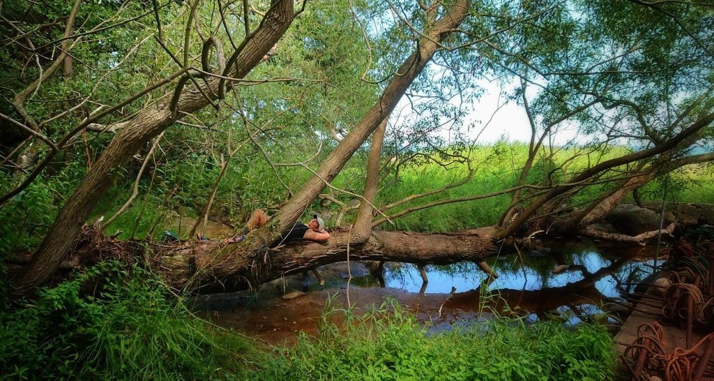
The camp site is situated not far from the parking of the National Park a place called Hällevik. Your not allowed to put up your tent until a certain time of the day and since it was too early we went down to take a bath but found no really good spot so I just lay there, in a tree.

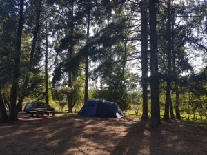
The ground was super hard, like the one in Raftarp, maybe partly because of the drought. We were first to put up our tent but got company later on by five other campers. One couple were really social – fun!

We had ready-made grilled chicken, corn on the cob and carrots for dinner. A glass of red whine and my eyes started to roll. Time to go to bed. Falling asleep took some time though since the camp site was right by the Kivik press and it did not stop making very loud noise until 11 p.m. but I managed.

Here are all my pictures of this day.

My own GAX 100 – Day 4

Day 4 – Andrarum – Brösarp

– Temp: 26-28°C
– Distance: 13.5 km (+1.3)
– Time: 3h 2 min
– SL4 Stage: 7 & 6 (partly)
– Difficulty: Medium
– Markings: OK

Happy birthday to me!

I celebrate the day by taking a wrong turn after 700 meters not realizing this until 1 km. I was still thinking about the stuff I read on the signs of “Alunverket”, Andrarum alum works, where they extracted alum slate in the 18th century. and just passing a bridge over Verkaån the path marking was hidden by some trees to the right and I just continued on the asphalt, as if I preferred asphalt!

As planned today was a rest day and so the plan was to walk the whole distance. The first kilometers the trail goes through the forest and then follows the Verkaån. Small paths, more technical than previous days, and also a bit more altitude, but nothing hysterical. This part is dauntingly beautiful almost with a rainforesty feeling. Although the creek is almost empty, sometimes the water flows and is crystal clear and I take the opportunity and wash myself.

Passing the Hallamölla waterfall the path turns into gravel and more small paths through the woods. Just before exiting the woods onto a gravel road at close to 8 kilometers, there is a huge campsite with two large brand new wind sheds and houses for gatherings. I stop to take some photos but eager to finish I actually start jogging for the first time this day.

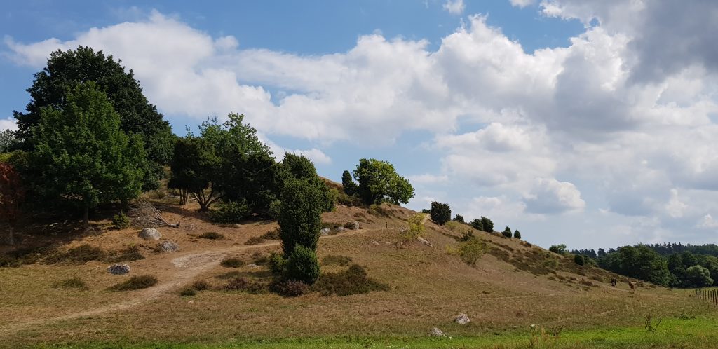
A bit of asphalt and then I meet “Brösarps backar” for the first time. Beautiful sandy hills with sparse vegetation, Verkaån still below, working its way through the landscape. The paths on Brösarps backar from 9 to 12 kilometers are demanding but gorgeous.

Entering Brösarps backar
No, not here.

After 12 there is a parking lot with a toilet and a very confusing passing of a huge road with heavy traffic. You can’t follow the markings because you end up in a wire but if you look for the markings on the other side you get the right direction.

One more hill and one more kilometer and today’s stage is over at 13.5 kilometers. However, we are staying in the city of Brösarp so I have another 1.3 kilometers to go. The city offers restaurants and a supermarket as far as I know.

This stage was probably the most beautiful so far and also the most demanding technically. But there is more to come and now it’s my birthday and time to do some serious resting and pampering.

My own GAX 100 – Day 3

Day 3 – Lövestads åsar – Andrarum 

– Temp: 27-29°C
– Distance: 15.5 km
– Time: 3h 18min
– SL4 Stage: 9 & 8 
– Difficulty: Easy
– Markings: Poor 

The heat continues but I so love it! Today is Saturday a short stage of only 15.5 km. The sleep was better but the tent a bit stuffy. After the same breakfast as yesterday the stage started as it ended, continuing upon the ridge of “Lövestads åsar” through the intensely green beeches and on ground thick with wilting leaves in all different yellow shades.

After 2 km I get to a turn out on a small road of asphalt and the landscape shifts from forest to a more open, with heaths and after another 2 km I’m  on a gravel road that gets smaller and turns into a path, I climb another of the many ladders over a fence  and onward on a path leading to Hallsbergs Stenar at 4.4 km. Somewhere here I stumble across a crowd of very curious, agitated and restless cows with a bull that stares so intensely at me I choose to climb barbed wire to walk another pasture finding that many probably have done the same because there is a path here and a part of the fence made easier to pass for humans.  I guess it might all be in my mind but I’m not inclined to try that theory today.

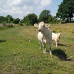
Crossing a road and a farm I continue on small paths of different pastures and some more cows, this time they behave more like the cows I’m used to and, although curious they move away when I talk to them. They were really beautiful white cows, calm, not like the other ones, all fidgety.

5 km
Invisible markings

After this I come to a point where the markings start to get a bit scarce or maybe even missing and I take make two wrong turns, one just before my 6 km mark and one at 6.5 km, and at several places I just have to look at my map all the time to get it right. Some of the markings were on trees that had grown so big their branches hang near the ground, hence the marking on the stem was not visible at all, some markings were just too far away to be visible.

 In Heinge fritidsområde, at 8 km, I get to a broken sign. Even though the sign is all messed up it’s clear which way to go. Or so I thought, because when I get up to the road and the next sign this points into a field and backwards towards where I came from again. Not a long detour at all but it took a while to figure it out because I’m a bit tired.

Yes, as mentioned, at this point I’m worn, my muscles are aching and I’m a bit tired so I walk almost all the time enjoying the landscape and decide that tomorrow, which is a short short stage, I will walk only and consider it a rest day.

10 km

Some small green paths, entering the city of Tomelilla, and passing another road and at 11 km. I stopped to lie down on a bench for a long while, and my dear husband shows up. We continue on a small gravel road for a while but since I’m struggling with some pain I continue alone, walking. I ponder the thought of the GAX participants that started their journey today, approximately at the same time I started – at this point they have run about 57 km and have more than 100 km left. I look at the GPS tracking of the participants and some of our friends and get inspired to hang in there!

The small gravel road continues for approximately 4 km. Since I’m walking some bugs annoy me, but it’s still so beautiful, they’re forgiven. I pass a bigger road and over another one of those ladders and the open landscape turns into thickly, shady woods with a bit more technical terrain. A final slope and I’m there, at the parking of “Alunbruket” in Andrarum where we will be staying!

All in all a pretty good day, all considered, but the markings should definitely be improved – compared to previous stages they were really bad but ok if you walk and have time to keep track.

Here are all my pictures if you want to get a better look at the rout. The aim the whole journey was to take one picture every time there is a change from e.g. path to asphalt and, of course, pictures of all stuff beautiful.

My own GAX 100 – Day 2

Day 2 – Raftarp – Lövestad

– Temp: 28-30°C
– Distance: 22 km
– Time: 4h 47min
– SL4 Stage: 11 & 10 
– Difficulty: Easy
– Markings: So and so

Bye Raftarp!

After not too many hours of sleep on the rock hard ground (and ground sheets of course) we decided that R were to go by car and by some thicker things to sleep upon. We ate our overnight oats, that had been soaking all night, with nuts and berries and some milk and drank som cold coffee – due to the long dry spell the last months there is a fire ban in the whole country.

After a long slow morning it was time. I did not even think about how I felt, which, for me, is a sign of wellbeing – everything is as it should, me, great company, a lot of time completely alone and a lot of nature with a single purpose – to move forwards and get there. If only life could be that simple.

Start
Mittsträngsväg and husband

The rout started where it ended yesterday at the camp site Raftarp in ”Snogeholms strövområde”. Thorugh the woods and, apart from some hundred meters of asphalt, it was mainly gravel or small paths along the lake Snogeholmssjön. The first 4 km I got my husband’s company. The SL4 here coincides with the paths of Snogeholm so there is water and a toilet that is not marked out on the rout on the website.

At the end of the lake my husband ran another way around the lake and back to the car. I headed slightly eastwards for our next site in Lövestads Åsar were we were to camp. The first 50 km of the Österlenled (SL4) there isn’t many other options than to camp or sleep in one of the four wind shields along the path.

After passing a rather big road at 5 km, the stage continued along really beautiful paths in the woods, sometimes interrupted by a gravel road still heading in the general direction of northeast. Around 8 km it turned into asphalt as it was closing in on Vitabäckskällan  on Hylleslösvsvägen at ~8.8 were there was water. I still had water left but not that much, and it was getting close to 30 degrees Celsius now so I had a refill and i lie down for a good while.

Vitabäckskällan

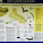
Approximately 5 meters after the water there was a path sign on a gravel road that made me turn right despite my instinct to go straight ahead. Well, closing in on the sign I think saw that it was one of those signs with a X meaning “don’t go this way” but I’m not sure – at the same time I had pulled up my map and realised that my hunch was correct and I continued on the asphalt passing by some more houses and also a nature reserve called Vitabäckshällorna where the rare bat Barbastella barbastellus hunts.

10 km
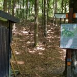
Toilet below site for wind sheld

At 10 km I inspected the toilet and wind shed of the area, concluding that, our choice, Lövestad would be much more pleasant, light and not so murky and full of bugs so discussed that over the phone with my husband and we were pleased with our first choice.

Just above 1 km after the site the path crosses and goes along Tomelillavägen, a busy road with the speed limit of 90km/h meaning heavy lorries and cars pass here at 90-110 km/h. It took me a couple of minutes waiting just to get passed and the 300 meters on that road felt like a 100 miles lorries passing by not slowing down or giving way the least. I soon turned onto a gravel road that went on for 4 or 5 beautiful kilometers – the landscape so stretchered and colourful in different shades of greens and yellow.

17 km

After 17.8 km when the SL4 turns right on Gamla Prästavägen there was no SL4 sign at all but I had just checked the map. A warning is probably appropriate here since the road bends and trees and bushes are in the way you could not see the cars that came at pretty high speed behind the curve. Some more asphalt and onto an even bigger road at 18 km with more fast cars – not my idea of fun but luckily it’s only for 500 meters and even more lucky me – there’s my husband! A quick hi, a banana for the road and onto a small gravel road again, passing on the premises of farm of some kind, over a concrete bridge passing a small creek and onto asphalt again.

21 km – Kullamöllan

Turn sharp left after the mill!

Just around my 21 km mark the newly renovated wind will Kullamöllan, built in 1850 but moved to this location in 1929, is situated. However, it was not windy enough for it to turn today.

A climb!

And speaking of turning… at this point the SL4 takes a sharp left almost backwards with no signs to tell. Some more asphalt and then a right turn and another 500 meters before a left turn into the most magnificent woods fore a short climb on the beautiful ridges of Lövestad.

At 22 km there is a parking lot and a place where you’re allowed to camp. Soft, soft ground from all the trees’ leafs. My darling had shopped for something for dinner and my goodness it tasted good even though we couldn’t have it warm because of the fire ban.

Another day of running more than expected. The first 1,5 hours was a lot of running, the last 3 hours was mainly walking since I was very unsure how to utilize my body’s strength.

My own GAX 100 – Day 1

Day 1 – Ystad city to Raftarp (Snogeholm)

– Temp: 30°C
– Distance: 25 km
– Time: 4h 19min
– SL4 Stage: 12
– Difficulty: Very easy
– Markings: Very good (except distance)

Start!

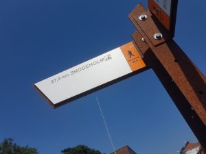
After 10 days of no running just longing it’s finally time! After a sparse breakfast at Ahlberga B&B we drove to the start in Ystad. With 1.5 liters of sports drink in my running vest bladder and some nuts and dried fruits I start a bit away from the real GAX start just because there was a sign there saying “Snogeholm” 27.5 which was the area to where I was. Funny, though, the sign said over 27 km because the official stage is said to be 24 km.

I lost track of the path in the city, of course, maybe because of the crowds but I had the path ready in my phone and fairly easily found my way back. Cobble stones and asfalt, a little park and then a bike path. The heat is striking but I like it. The alleys of trees sometimes give shade but mostly is all sunny and 30 degrees Celsius and more.

After only a few kilometers, the typical Skåne landscape hits you – open and vast fields of crop, corn and alike stretching far, far. Not much altitude gain but almost always a bit up or down, slowly.

End asphalt

The rather boring asfalt turned into a gravel road after approximately 5 km and more beautiful billowing heaths. So far the path is very well marked if you don’t take into account that the distances felt a bit odd and did not quite add up for me. The splendid markings would continue to be so the whole day and although there were several parts of boring asphalt with fast cars it was not as much asphalt as I had expected.

By the lake Krageholm with all its birds I realized I hade quite a bit left and I was already out of drink. I con

Me at top of he one and only hill day 1. Photo: Robert Rundqvist.

tacted my support, who now was on his way for a bike ride, and we decided to meet up for a refill. We have shared GPS locations on our smart phones and that almost always works good enough. If we want more accuracy we use Wikiloc with live tracking – seems to be more stable for me than Garmin’s own live tracking.

After the refill I got company for a few kilometers although the path was not suitable for a road bike at some parts but that sandy uphill would definitely suit an MTB. This hill was actually the toughest part of all day 1

Entering the area of Snogeholm I were to experience the sand for the very first time. So strange. Suddenly, in the middle of the woods, there it was – soft beach sand giving away for every step you take, making it a tiny bit more difficult. Little did I know that this sand would set the tone for the rest of my journey.

After these pretty wandering paths in the woods I was there at Raftarp Camping Site. It was not 27.5 km but 24.9. Here my dear companion had already put up the tent and while I was resting he went for pizza at a place that despite our wish for no tomato sauce on the four cheese pizza put tomato sauce on and handed over the pizzas saying “two four cheese pizzas with no tomato sauce”. Lucky them I was so tired.

Our tent!

After some freshly picked blackberries for dessert and talking a bit with our Danish and Polish neighbours we tried to make us a nice place to sleep of the stuff we had but it turned out to be a bit to hard ground and it was hard to fall asleep.

All in all I ended up running more than expected, roughly half of the distance. The stage was marked “easy” at the Skåneleden webiste and I agree – not much altitude gain and nothing too technical, not even in the woods, apart from the sand that only was a bit heavy for a short period.

Below are all my pictures in order of appearance.

A marvelous start!

My own GAX 100 – Prologue

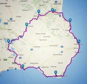
100 miles in 8 days around Österlen in Sweden. Starting now I will take you through my journey around this beautiful route. I will post one blog post covering each and every day of me running and walking Österlenleden, from wakening to falling asleep. You will find a summary of all stages and links to the blog posts below. 

A couple of years ago I stumbled upon a race called GAX 100 miles. A hundred miles in one day is way too much for me but I’ve always wanted to see more of Österlen in the southeast of Sweden and the county of Skåne so the thought lingered. It seem such a splendid idea to utilize the fabulous hiking paths of Skåneleden and in this particular case the SL4 Österlenleden (interactive map at bottom of page) so I started looking into it more seriously around May 2017.

After Jurassic Coast 50K in June I felt somewhat empty and didn’t know what my next challenge would be. The 50 K seemed so insurmountable so I was so content with that it sufficed for a very long time. But come July I felt more and more eager to experience something and then I saw the GAX flicker by on social media and, tadaaaa, we started to plan and yes, it actually was logistically possible to fit in to our lives at this time!

The first 5 days I was accompanied by my dear husband, our car with a tent for emergency overnight stays and the possibility to get refills of water. Although I really like the warm weather, I’ve never before been running this far in such heat and since I had no idea how far I would be able to run it seemed like a splendid arrangement. The last three days I was on my own but R had been kind enough to place one bag at each of my overnight stays with things I had packed.

My husband the course manager of many races we have managed over the year helped me create a Google map from the GAX gpx-file and together we worked out preliminary stages. However there was no way of knowing how much my body would be able to tolerate so there was really no idea booking accommodation very far ahead.

Here’s a summary of the stages and as I write the blogs I will insert links to the blogs. Below is also an interactive Google map.

Now the journey begins!

DayFrom-toKmH:mmAccommodation
0Åsa-DegebergaCar-Ahlberga B&B
1Ystad-Raftarp254:19Raftarp (tent)
2Raftarp-Lövestad224:47Lövestad (tent)
3Lövestad-Andrarum13.53:18Alunbrukets B&B
4Andrarum-Brösarp14.83:02Brösarps Gästgiveri
5Brösarp-Stenshuvud14.72:23Stenshuvud (tent)
6Stenshuvud-Simrishamn16.42:48Svea Hotel (avoid!)
7Simrishamn-Löderup28.35:51Backåkra hostel
8Löderup-Ystad29.15:13Stationen B&B


Please note that the official GAX gpx track is found on their website – this is a track converted from the 2018 race and I cannot guarantee that it’s correct.

Jurassic Coast 50K June 2nd, 2018

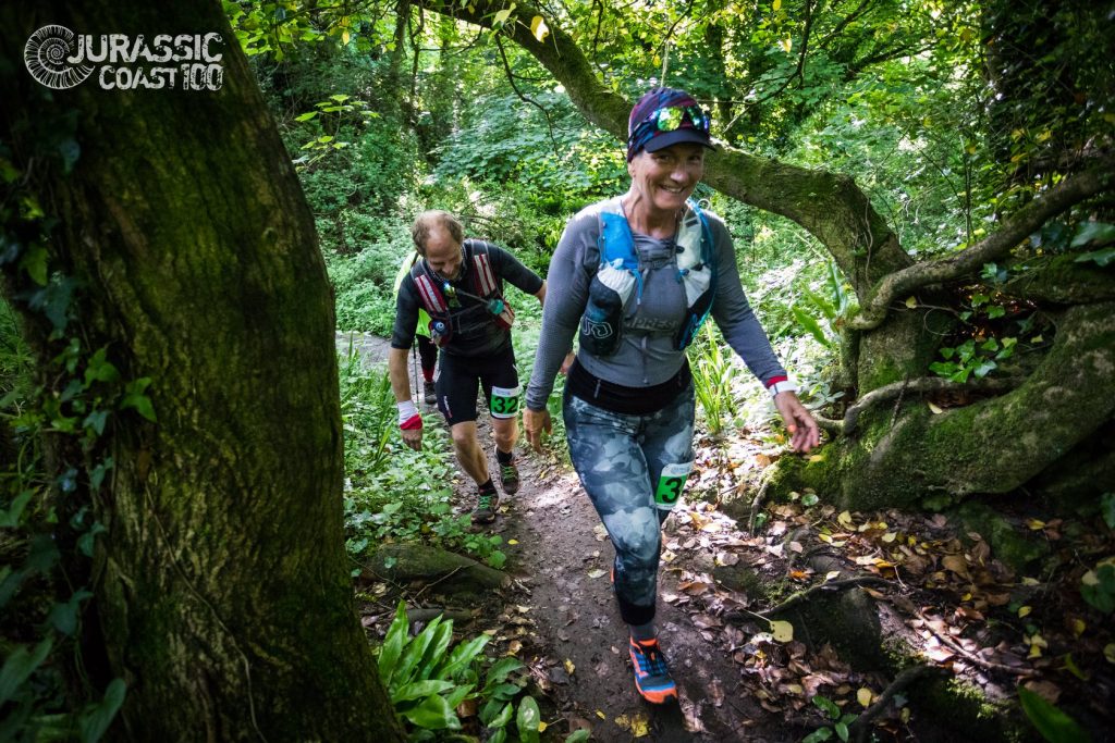
On a whim I said “why not, I can always walk with those generous cut offs” when my friend Sara asked if Benen på Ryggen and I wanted to tag along to the UK and do the Jurassic Coast 50K by Climb Southwest. The first 29 km of the race I somewhat regretted not having done my homework better at times but when I had warmed up after 32 km or so and the course turned into an easy stroll rather than a tough step climbing competition I was able to run parts and my body adjusted itself to the situation and I enjoyed myself very much. 49 kilometers and 1600 altitude gain is a pretty darned good ultra-debut.
Physical status

It started really crappy physically. Since a week my stomach had been bloated, probably from something I ate during our last trip to Manteigas, Portugal to run the Estrela Grande Trail. Everything I ate just got stuck and did not get processed as it should but instead produced tons of gases. I bought some prune juice and fig juice and it got better although it was still not as usual the morning of the start.

My old war injuries were checked by my physio two weeks ago, just before the Estrela and I passed all the muscular reaction tests so even if I have pains sometimes it is nothing that I need to worry very much about but. Of course, I need to keep my head screwed on – not always an easy task on race day.

Packing & Travelling

We booked two ridiculously cheap tickets to Stansted with Ryanair so packing was a challenge for me – flying Ryanair you have to pay a fortune to check in luggage so we settled with the two bags that is included, one small handbag you get to take with you into the cabin and one bag is tagged with a yellow tag and you yourself have to put on the wagons that the drive to the airplane. Somehow, despite everything, I managed to get all things I wanted with me, even an extra pair of shoes that I was not sure if I were to run in or not.

The journey started with me joining my husband at his work for a dinner – since the flight was the last of the day, that was the most practical. At Landvetter Airport s usual getting stuck behind the parking gate after dropping luggage (and me) close to the entrance – Swedavia, if you really needed to remove the drop-off zone why not create a solution that works? If someone out there knows how to drop luggage close to the terminal, please let me know because not a single time have we been to Landvetter Airport without the gates malfunctioning and having to telephone someone to get out!
We had checked in online in advanced, which is a requirement when flying Ryanair unless you want to pay extra and since it was late in the evening security had no line at all and all the shops were starting to close. After a bit of a wait the horrible announcement came – the fight is delayed two hours! Normally two hours is feasible but when two hours takes place around midnight it can be a bit thornier and now the plane we were flying was still on the ground at Stansted!

Since we knew we were going to arrive late at Stansted from the beginning we had booked the Hampton by Hilton just a short walk from the terminal. The hotel was a great place with modern standard, clean rooms, splendid service at all hours, a restaurant, even a bar menu 24/7 if you feel peckish at night. Unfortunately, we did not arrive at the hotel until minutes before they started serving breakfast at 4 a.m. Stansted airport was understaffed and we had to wait nearly two hours for my bag (my husband got to bring his on board even though he had not paid for priority). Apparently, Stansted had had bad weather the day before and several flights had been delayed so when we landed, people from at least ten flights were waiting for their luggage.

Anyway, we got my bag at last and checked in at the hotel, pretended it did not happened and thanked our friend that we were supposed to give a ride the morning after for understanding that that ride would be delayed. Little did we know how delayed… but I’m not going to bother you with stories about getting stuck in London traffic – you all know how exciting that is.

Note to self: It’s probably almost always worth the extra small fee for “Priority line” where you get to carry onboard both your bags, however, rumor has it that Ryanair are to change their luggage policy soon again so who knows?

Accommodation & surroundings

24 hours after our journey started in Gothenburg we parked at The Old Telephone Exchange in Mamhead near Exmouth where the finish line was to be. A pretty and somewhat quirky little cottage that you learn to love as soon as you get it warm. The bed of the main bedroom was a sofa bed, too soft and with a crack and a slope in the middle which made it impossible for me to lie in since it was rather small as well. The sleeping arrangement on the loft (a mattress on the floor) would have been perfect for me hadn’t it been the steep stairs – I’m used to steep stairs from at home but these were different and I didn’t want to push it since I found that the futon in the living room was very nice for me to lie in.

After a good night’s sleep and half a day of chilling we drove to Starcross and took the ferry to Exmouth to see our friend Sara, exchange some equipment, eat and do some shopping. The ferry runs only summertime and not at low tide, and despite what Google says it took only 15 minutes.

We all had burgers at the Ocean (top floor) and frankly, they were a terrible disappointment. The first bite of the burger I tasted the bitter burnt taste and flipped it over, only to see it was totally black – a thick crust of charcoal. I was too tired to complain and settled with cutting off the brunt side from the burger and enjoying my great company (who also got burnt burgers). After an exchange of equipment, we did some quick shopping at Boots in Exmouth city and then took the ferry back. The Spar grocery store in Starcross proved to be totally the wrong choice but we had stocked enough to get us breakfast and just wanted to get some eggs and orange juice – the did not have fresh eggs, only boiled, and the orange juice had artificial sweetener, there is no justification for a product like that, yikes!

Race Equipment & preparation

We’re lucky! The weather forecast the last week has been promising for a person like me who like it warm and cozy. UK is like the west coast of Sweden with a lot of rain and unpredictable weather but the last couple of weeks all of Sweden has been having over 25 degrees C and it’s been really nice. I’m really not sure if I would have managed this race under different circumstances, such as heavy raining for hours and hours, but that was not the case and I packed and dressed for a hike/run in 18 degrees C with the possibilities of a bit chilly in the evening if I take more than 12 hours to finish or if it starts raining a little bit. Most people would not have that much on but I’m really not that kind of person – I like being warm and rather too hot than even the slightest chilly on a day like this.

Here’s an excerpt of my packing list with all the stuff I had with me during the race – -items marked with an asterisk are listed as mandatory in the race manual, items marked ^ are not listed in there as mandatory but should have been:

  • Buff with visor*
  • Bliz, sports sun glasses
  • Bra, Nike
  • Fusion tank top
  • CompresSport long sleeved*
  • Goretex jacket (Sara’s)*
  • Norröna insulation vest*
  • Ultimate Direction vest (8,4 l)*
  • 5 l bladder sports drink*
  • Whistle (Sara’s) *
  • Soft cup (125 ml)
  • Mobile phone & spare mobile*
  • Wallet with ID ^
  • 20£ cash *
  • Dauer compression bandage ^
  • Rescue blanket*
  • Energy, bars, gels, fruits & nuts*
  • Compeed*
  • Wet napkins
  • Pain relief pills
  • Wound dressings*
  • Racebelt (did not use)
  • Bib (on left leg) ^
  • North Face new 3/4 tights
  • Injinji woolen socks
  • Inov-8 X-talon 200 stl 38 (the new ones)*
  • Sportslick on feet (evening before)
  • No sunscreen (buff to cover neck)

To the Registration

The coach to the start in Lyme Regis departed from a parking in Exmouth at 5:45 a.m. We drove there by car and parked at a nearby parking at first. However, since Swedish phones cannot install the parking app it would have been wise to have brought coins for the parking meter. However, after a long registration process on an automatic telephone payment system we discovered that you could only park there long enough so we moved to the parking where the bus was standing which was a long-stay car park. We used the pay-by-phone option again and we haven’t seen any ticket yet so I guess it worked.
The bus departed just a few minutes behind schedule but with the start at 8 o’clock there was really no rush. A 30 minute or so drive later we got to Lyme Regis.

Note to self: Stop using race vest as back support on bus – it doesn’t matter how well closed and secure the bladder is, it will leak. Not much, but it will.

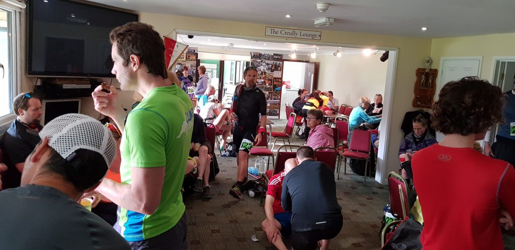
A short walk from where the bus stopped in Lyme Regis, registration took place at the Lyme Regis football club house. Inside was a few toilets but the line was not too slow. The parking held a public toilet as well if you could spare the time for the short walk.
Unfortunately, probably since my husband and I registered late, our names were not on the printed lists but that was sorted out and we got our bibs and T-shirts. During the wait for the bib I ate my oats and worried about my stomach not being fit for fight.

Here we also shared space with the people that had been running for some time already, probably the 100 km runners. Some looked tired, others not.
Lyme Regis – Seaton (0-11.8 km)
At 7:45 a short briefing was held and at nearly 8:02 we were off! Down some steps. I had read about there being a lot of steps, I couldn’t imagine at this point in time how many, and how dreadfully tired I would become of these, sometimes very tricky, steps.

The first 29 km was mentally horrendous very big parts. But wait! If you managed to read this far, don’t give up – I promise you a miraculous turning and a super-strong finish, I just need my stomach to understand that this is serious, we’re doing this no matter what and it’s not OK not processing what I eat. My stomach does not hurt but it feels weird and I am a bit light headed – since I have my husband as co-driver this lovely day I let him know my status.
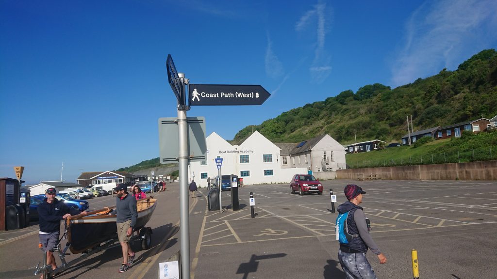
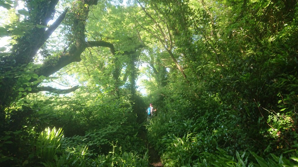
After working our way down to the water and a stroll along the road beside the beach we start the first climb into the woods after a little less than 1.5 km. We work our way through such a lush vegetation – already at this point I’m not really convinced we’re in the UK, it feels more like a jungle with all the ferns and exotic plants! The shade from the trees makes it a perfect temperature for me and the tricky paths with mud and steps makes me slow though. Not much altitude gain right now but a bit up and down and after 8 or 9 km we get to one of those more demanding climbs there will be so many of this day. Up up up to the top and crossing a golf course and then down again to the first aid station just before the entrance into Seaton – some water and coke and off we go!
Seaton – Branscome (11.8-18.9 km)

Up and down, up and down, we work our way forward on Beer road, over Beer Hill leading to, lo and behold, Beer! From now on the scenery will shift back to more of the typical Jurassic Coast scenery, white breathtaking cliffs, misty heaths and some steep parts that poor me did not really like. But first some heaths and ice-cream!

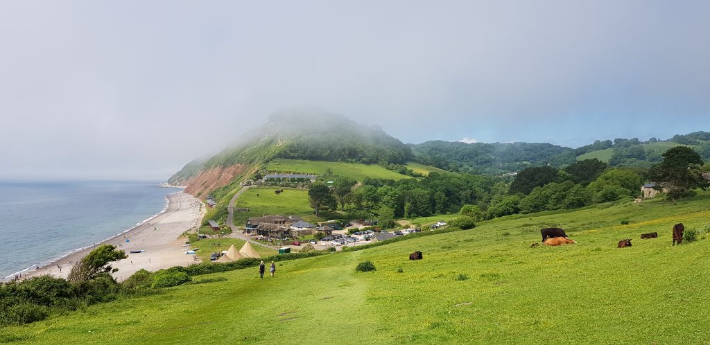
Before we know it, we spot Branscome and I run down the hill singing “The hills are alive” from Sound of Music. No one but my husband seems remotely entertained by that but I don’t care – I even forget that I actually am supposed to consider whether or not I am to quit or not. It’s almost like that never was an option but 15 km ago it was. I lie down in the grass with a cup of mango sorbet and enjoy the heavy green beaming grass in front of me, the seaside, the people. Maybe, I think, I can make it to Sidmouth where there’s soup and some more stuff to eat.
Branscome – Sidmouth (18.9-29.5 km)
One of the organization, or perhaps participant’s support, shows us through the right gate onto the path gain – there are three ones so that was much apricated. The Southwest Coast Path is marked with an acorn and sometimes yellow arrows but the yellow arrows also marks beautiful detours and viewpoints in a way that we cannot understand so having the route in our gadgets (as recommended) is really handy, no make that absolutely necessary, because we need to check rather often not to take the wrong path.
Up, down, up, down. Steps, steps, up, down. I’m starting to get a bit annoyed with the steps. They soil in between the steps have sunken so there’s nowhere to put your foot going down them so I end up going down like and 90-year-old. There are still some very steep hills left but after Sidmouth it will be much easier and only two. Up, down, up, down.

Close to Sidmouth I realize my stomach has improved. It’s not bloated anymore, in fact it’s nice, flat and soft – imagine that I would be happy for a flubbery tummy :D.

At the aid station we get help filling our bladders by the lovely volunteers. I dunked two cups of water and some other drinks I do not know what they were. I lie down on the sofa and ponder my status while eating some crisps and drinking coffee. At this point I feel like I might as well continue to the next station since we’re nowhere near the cutoffs or the sun setting. So, after a good 40-minute rest, we continue!
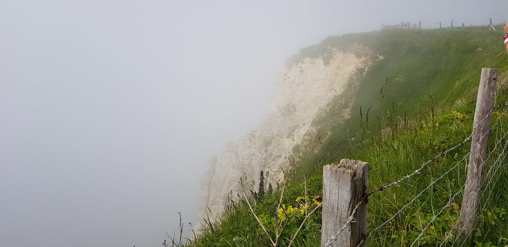
Sidmouth – Budleigh Salterton (29.5 – 40.4 km)

On our way out from Sidmouth there is a lot of people, some cheer, some just watch and wonder. It’s fun to suddenly be in the middle of all these people chilling, having ice-cream, eating fish and chips, strolling along the beach on a sunny afternoon.
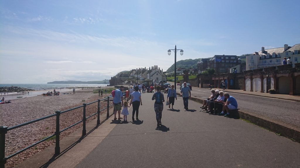
Not long after the aid station is the second last real climb – I do not know that but I complain a bit so my husband is kind enough to inform me and that really makes my courage take a leap although my legs have no intention of ever leaping again they say. Up and down, up and down, and then we stay down a bit on rolling hills and I’m actually sort of running, not fast but running!
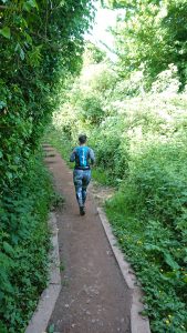
After jogging/walking a while I’m feeling as if I actually will finish. I’m really certain now that I will – the only thing that will stop me, I say to my husband, is if I break an arm in a fall or something but that seem highly unlikely since I’m really cautious and walk the tricky bits (i.e. the frickin’ steps). Closing in on the aid station in Budleigh Salterton you see the town from upon the hill but to get there you need to pass the River Otter and that requires an extra 2 km around Lower Otter Valley to get around the river – it appears to be a splendid area for bird watching and enjoying other wild life.

At the aid station this wonderful caring couple makes us feel like kings and queens and when Queen Anne Mari cannot get up from the grass where she laid down she got help getting up and further on to the beach houses of Budleigh Salterton where our aid station heroes informed us there were toilets. They were not the cleanest of toilets but I always carry wet napkins and sterile napkins so that was not a big issue. Now I really started to feel strong – what a remarkable feeling! The first 20 km my body felt like it would not last for another kilometer but now everything is gone, all aches and pains are somewhere else. On top of this boost our friend Sara called and said she had finished – super-boost!

Budleigh Salterton – Exmouth (40.4 – 49 km)

Ooops, what was that in my pinky toe? My shoes are not quite worn in enough so the left one is a bit too tight in the front. My worn in shoes have a too worn sole so I chose the new ones so I have felt a bit of a pressure on the sides of my left foot. I’m really not sure what it is. After assessing the situation and sensation I rule out all catastrophes (but I assure you the where considered) and decided it was a blister that burst. The sting subsided after five minutes and then I was sure.

So close now. Really psyched and happy I run very slowly as much as I can. Too steep up-hills I cannot really run but it’s so flat now that’s not a problem but I’m tired and have to walk at times because of that. Through the last bit of nature now before we enter Exmouth, still so green, still so much to see. So beautiful.
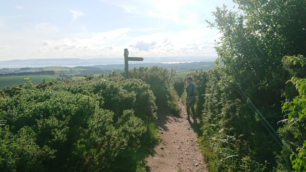
The Southwest Coast Path signs the last bit are totally messed up regarding distance to Exmouth. On one it says 2 ½ miles and then after that a sign saying “Exmouth 3 miles” appears. We follow our gadgets and ignore the signs. That aside, we actually move forward and we pass another golf club, gorgeous heaths and… a holiday caravan park full of people playing with their kids and an odd runner with a bib. Some more of those lush green pastures that never tire the eye, I could just lie down and this could just be a dream – the overweight woman who was doomed with pains refused to be thrown to garbage, started exercising, lost 44 pounds and 10 years later (after having been told running was dangerous) found this angel of a physio that discovered what was wrong and helped her fix it and 8 years further down the lane she finished an ultra… No than cannot be? It seems so unlikely. Yet, here I am, I’m 2 km from the finish-line of my first marathon and my first ultra.

With only 1,6 left I dipped a bit when I saw how far away the finish was. Far? My goodness, woman! You’ve been out for 11 hours and 48 km and you think 1.6 km is far? Get a grip. Look at all those drunk people and start running! And I did. I picked up the pace as much as I dared and kept it. I was so in my own bubble I barely heard my hubbies cheering – it seemed as if his voice was miles away. I closed my mouth and breathed through my nose. That is how I do it on very long distances when I’m not sure how much energy I have left, I close my mouth and run as fast as possible and still be able to breath enough through my nose only.
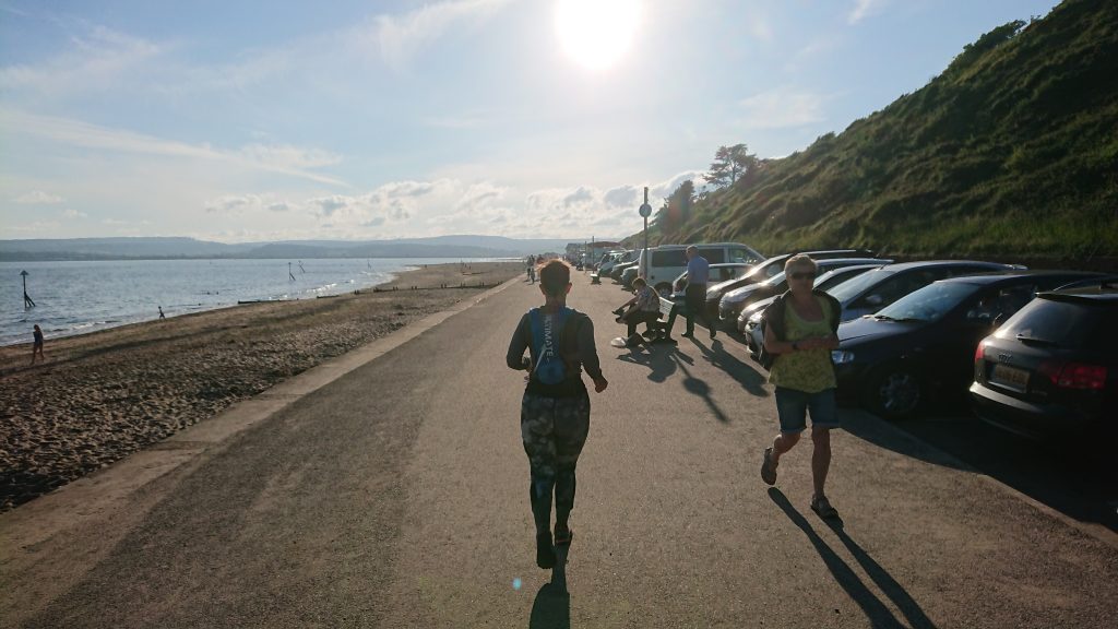
I’m closing in faster and faster and suddenly more people appear everywhere, kids on bikes, drunk people, I’m started to worried that I will not be able to avoid a collision but tired enough to let that though go. Some fifty meters from the finish-line someone met up and told me how to turn to the finish upon the grass. At last. I reached out for my darling’s hand and felt our joy blend as we passed the finish-line, applauds, cheering and that long awaited medal.
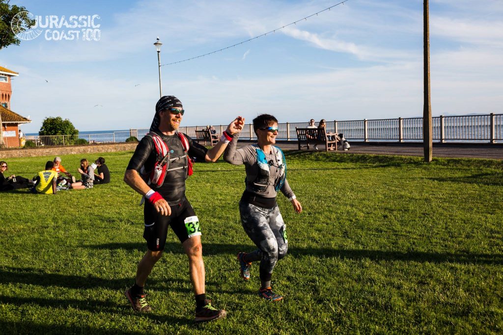
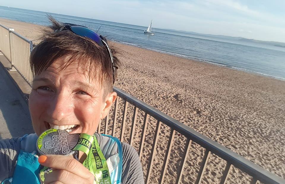
I AM ULTRA!

Epilogue

Lying in the grass afterwards I felt some cramps and soreness but nothing bad. I inspected my feet and the suspected blister on the pinky was there but looked clean and ok – woolen toe-socks really rocks, I have never gotten blisters before in them and now that it happened the blister was kept in place and did not get worse with any bleeding at all and I think that it might be thanks to the toe compartments of the socks.

I was thinking, maybe, since I was able to pick up the pace so incredibly the last 1.5 km that I could have gone a bit faster. At 4 a.m. in the morning after when I still wasn’t able to sleep from the pain in my muscles I was sure that was not the case. I did go outside my comfort zone, I even passed my ability zone a bit.

I did not get much sleep but that did not matter because in the morning after 4 hours of sleep I felt ok. I realized that I had forgotten to take my Glycine/Magnesium/Zink-evening drink that usually help when my legs won’t shut up but that was too late now and I did get a few hours of sleep, that’s what counts.